

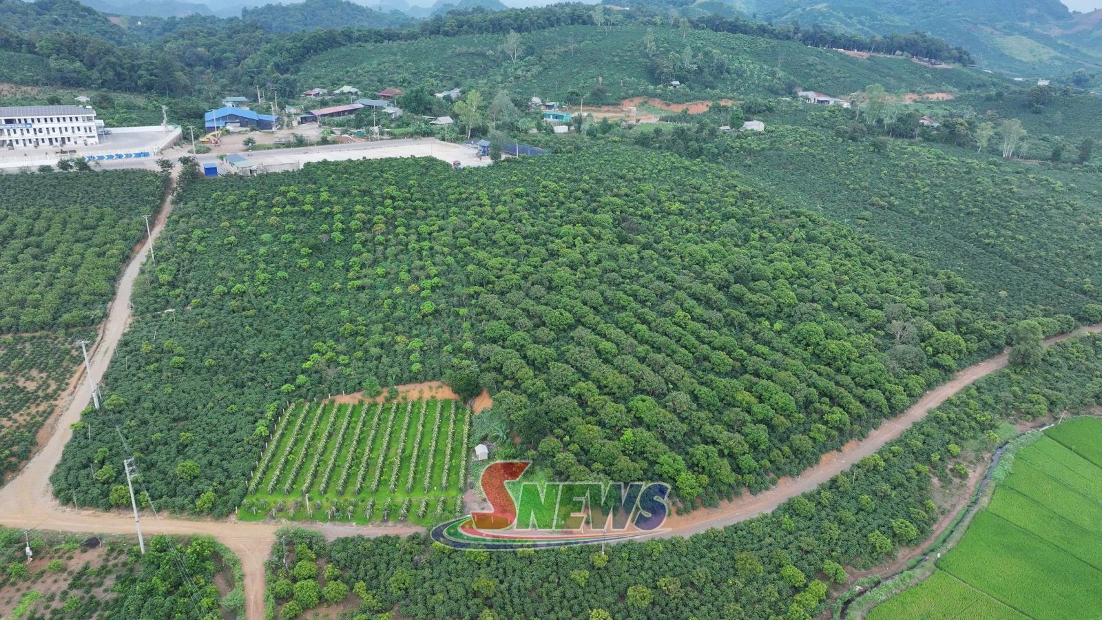
In recent days, working teams in coffee-growing localities have been coordinating with residents to review cultivated areas and collect information on coffee farms.
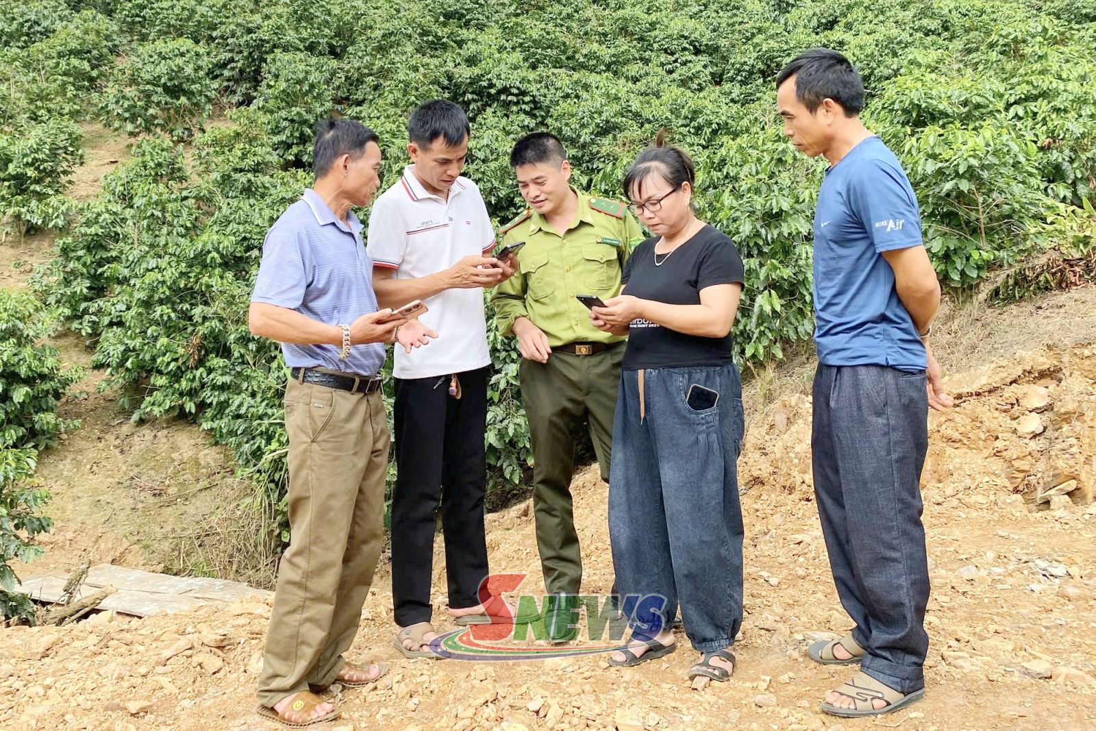
In Phieng Pan commune, officials are visiting hamlets and farming households, using smartphones equipped with the Open Foris Ground application to identify locations and map the boundaries of individual coffee plots. Data on cultivated areas, land users and farming conditions are being verified and updated in the system to support the management and development of raw material zones.
Nguyen Thanh Hai, Vice Chairman of the Phieng Pan commune People's Committee, said the commune had established three teams to review existing conditions and one team to collect data, assigning them to Chieng Noi, Na Ot and Phieng Pan before the administrative merger.
The teams work with village heads and residents to determine plot boundaries and coffee-growing areas, and verify information before entering it into the system. To date, the commune has collected data covering 5,717 hectares across 8,182 coffee plots, with the review largely completed.
In Chieng Coi ward, working teams are visiting individual hamlets and coordinating with residents to identify the locations and boundaries of coffee farms and collect production data.
Vi Van Xuan, a resident of Ot Dau hamlet in Chieng Coi ward, said his family currently had more than one hectare of coffee. He had previously heard about deforestation requirements for coffee products but did not fully understand what compliance entailed. After receiving on-site guidance from officials, he said he had learned how to identify the location of his family's coffee plots and enter information on their cultivated area into the software.
Under the EUDR, coffee exported to the EU market must be legally sourced and must not have been produced on land subject to deforestation after December 31, 2020.
Identifying the location and mapping the boundaries of individual coffee plots therefore provide a basis for relevant authorities to cross-check them against forest cover and forestry land records and verify information about growing areas. Farmers must declare complete and accurate information on cultivated areas and farming conditions to enable traceability and meet the requirements of the export supply chain.
Son La currently has more than 44,000 hectares of coffee plantations spread across numerous communes and wards. Complex terrain, scattered cultivation areas and unclear boundaries for many land plots have made reviews and data collection challenging.
Notably, authorities detected and handled 74 cases of forest clearing to grow coffee between 2023 and 2025, resulting in the loss of 53.27 hectares of forest. Of these cases, 68 were subject to administrative penalties, while six led to criminal proceedings. The situation underscores the need to establish the land origin and current land-use status of each growing area.
On August 21, 2026, the provincial People's Committee issued Plan No. 231/KH-UBND, launching a 120-day intensive campaign to review coffee-growing areas on forestry land and build a database to support product traceability.
Running from September 1 to December 30, 2026, the campaign focuses on assessing current conditions, collecting information for individual coffee plots and identifying cultivation areas located on forestry land. The initiative is intended to strengthen growing-area management and support compliance with EUDR requirements.
To help local authorities carry out the work, the Department of Agriculture and Environment has organised 50 training courses on surveying, collecting and updating information on coffee-growing areas.
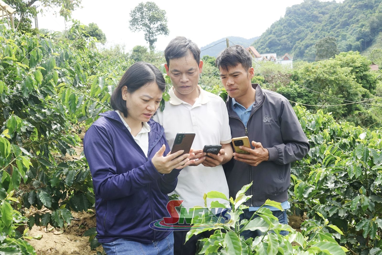
To accelerate the review, the department has established 16 task forces to provide technical support to communes and wards and help resolve implementation challenges. At the local level, technical officials are working directly with hamlet heads and relevant agencies to help farmers determine the area and boundaries of coffee plots and collect and update data.
To date, data collection has been carried out in 30 key communes and wards, with the software recording a total of 47,166 hectares across 100,912 plots. The review is largely complete in the communes of Muong Chanh, Nam Lau, Phieng Pan and Yen Son.
Alongside the review of growing areas, the province is strengthening data management and controls over coffee raw material sourcing. At a meeting reviewing a pilot model for sustainable, EUDR-compliant coffee production in Nam Lau and Muong Chanh communes, Nguyen Thanh Cong, Vice Chairman of the provincial People's Committee, called for satellite image interpretation to be combined with field surveys to build a shared database.
This will enable businesses and cooperatives to update and access information according to their authorised access rights, he said.
He also called for tighter monitoring of coffee purchasing to prevent beans sourced from areas that fail to meet EUDR requirements from entering export supply chains destined for the EU.
For coffee-buying and processing companies and cooperatives, growing-area data provide a basis for identifying raw material sources, verifying provenance and preparing traceability documentation required by import partners.
Under the plan, the compilation and correction of maps showing current coffee-growing areas, along with risk zoning, must be completed by December 30, 2026. Local authorities will continue coordinating in inspecting and correcting discrepancies in recorded areas and plot boundaries, verifying land origins, and preventing forest clearing and encroachment on forestry land for coffee cultivation.
Linking raw material zone management with traceability requirements will help protect existing forests while enabling businesses and cooperatives to verify the origin of coffee destined for export.















You have 500/500 characters left
Please enter 5 or more characters!!!