

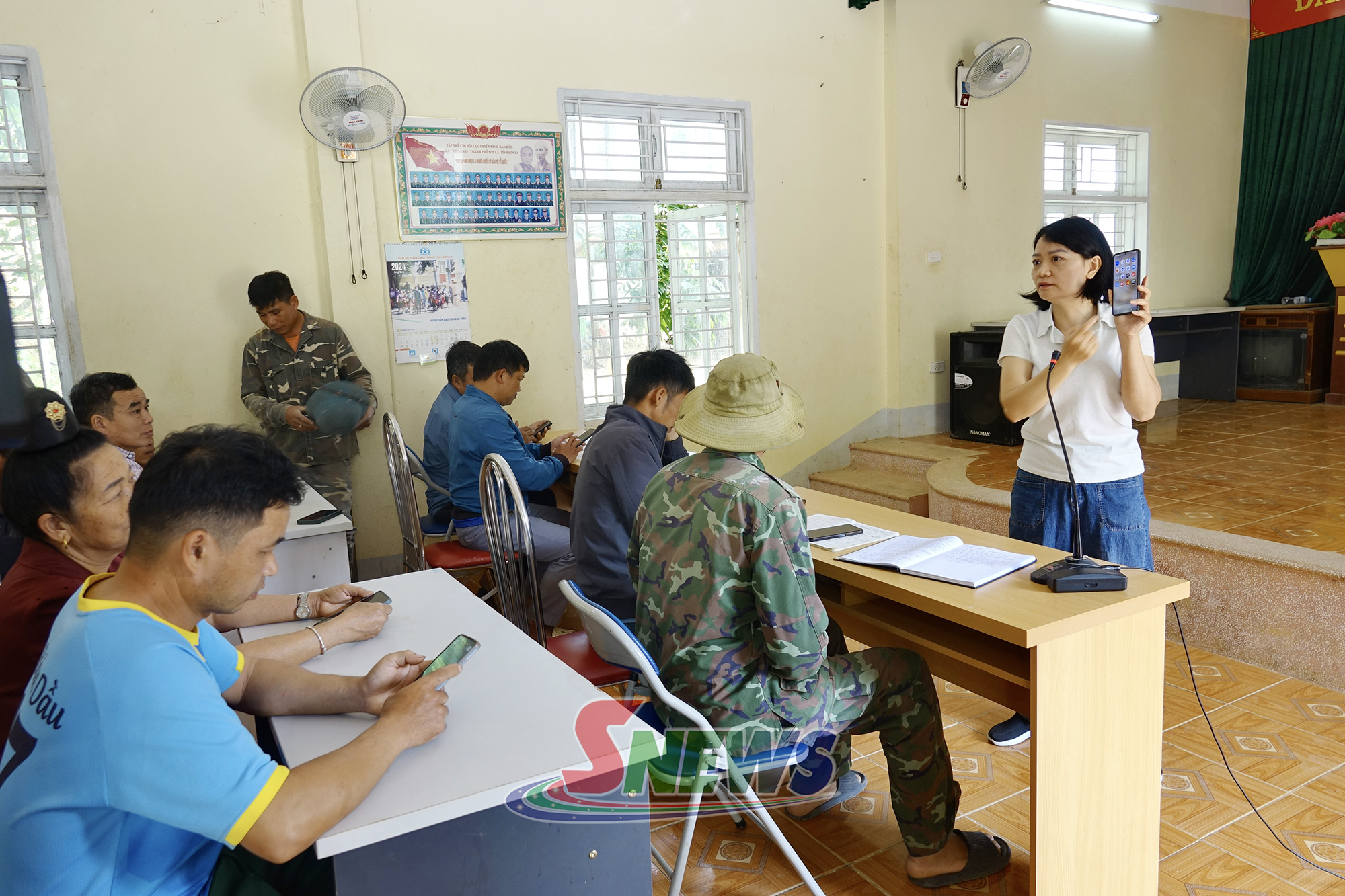
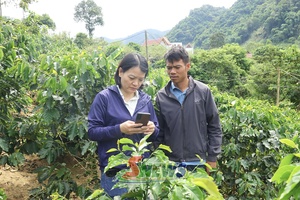
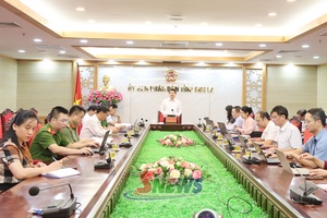
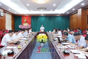
During the October 5-16 training, participants are instructed in the use of Open Foris Ground software; updating information on land users, locations, areas and production status; mapping the boundaries of coffee-growing areas; recording coordinates; taking field photographs; and synchronising data with the management system to support product traceability.
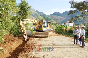
They also conduct hands-on exercises in coffee-growing areas to gain a thorough understanding of the procedures and skills required for field surveys and database development in their localities.
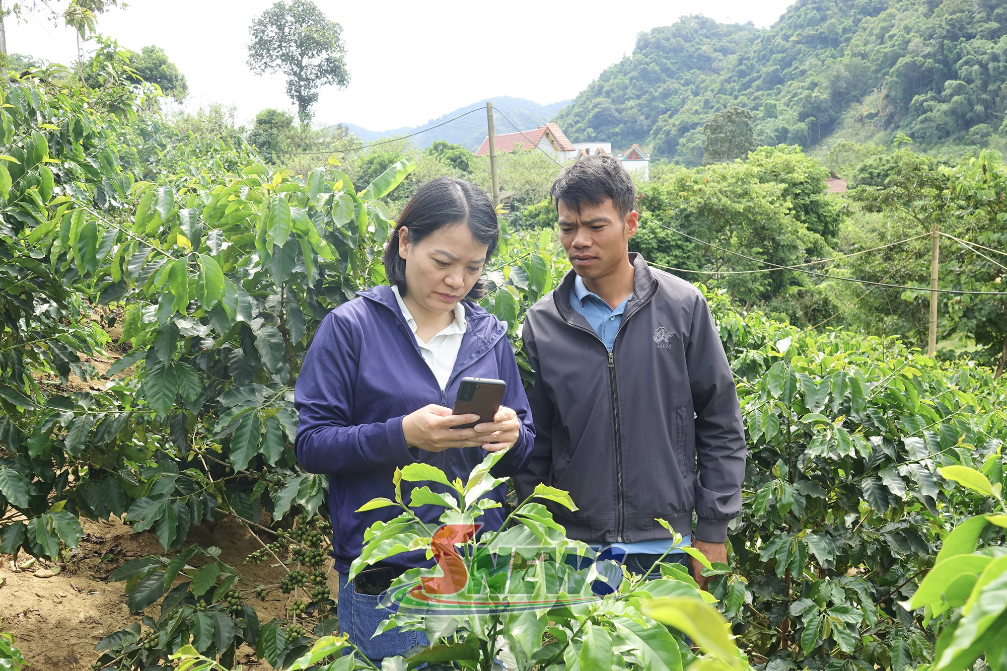
Following the training, local authorities will review, collect and update information on coffee-growing areas, with the goal of completing data collection for 100% of the coffee-growing area before December 30, 2026. This will provide a basis for data standardisation and the development of current land-use maps.
The process will also identify coffee-growing areas located on forestry land for management and guidance on crop conversion. At the same time, coffee products cultivated on forest land will be strictly excluded from exports to the EU market.
The province currently has more than 44,000 hectares of coffee plantations, with an output of nearly 51,000 tonnes. Standardising information on growing areas and implementing traceability will help enhance transparency in production, meet increasingly stringent market requirements, and increase the value and competitiveness of Son La coffee./.




You have 500/500 characters left
Please enter 5 or more characters!!!