




As of August 12, a total of 62,160 land parcels in Mai Son commune had been integrated into the land database system. Of these, 39,852 parcels were classified as Group 1, (the data are accurate, complete, clean and up to date); 22,308 parcels were in Group 2 (the data are available but have not yet met all four criteria); and about 5,000 parcels were in Group 3 (areas with no available data).
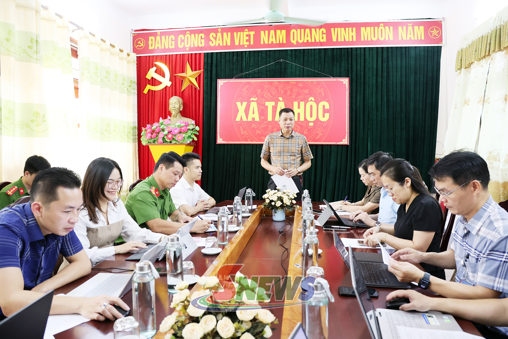
In Ta Hoc commune, there are about 20,334 land parcels. Of these, 18,334 Group 1 and Group 2 parcels had been uploaded to the land database system, while about 2,000 Group 3 parcels had yet to be surveyed and included in the cadastral map.
The communes have faced a number of difficulties and obstacles in developing the land database. A large volume of data needs to be reviewed, standardised, enriched and cleaned before it can be upgraded to Group 1. Some cadastral records from different periods are incomplete or contain inconsistent information, making verification difficult. Human resources for developing and updating the land database also remain limited.
The synchronisation of data with the national land information system has also encountered a number of shortcomings. Information on land-use right certificates in the system is in some cases incorrect or does not match the certificates that have been issued.

Participants focused their discussions on several issues, including the retrieval and cross-checking of information in the database; financial support for mobilising personnel to review and develop land data; coordination in identifying land parcels and establishing their databases; and training on updating data in the system.

Speaking at the meeting, Vice Chairman Cong praised the communes for their management and implementation of the land database development process. He asked the communes to focus on reviewing and fully updating directions from higher-level authorities, clearly assigning tasks and responsibilities to individual officials, and applying key performance indicators (KPIs) to monitor and assess progress.
He also called for stronger coordination with relevant departments, agencies and units to cross-check and reconcile information; faster data updates, particularly data on forest land and land parcels with missing or problematic information./.















You have 500/500 characters left
Please enter 5 or more characters!!!