


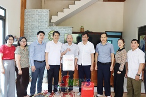
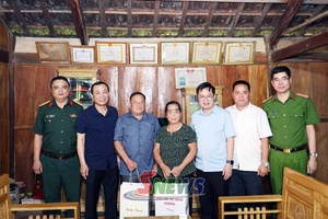
 Staff members of the Department of Agriculture and Environment assist Chieng Coi ward in reviewing and standardising land data.
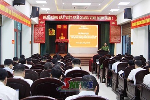
Accordingly, staff members of the department's specialised divisions, the Land Registration Office, the Centre for Agricultural Extension and Digital Transformation, the Forest Protection Sub-department, and other affiliated units have been organised into general coordination teams, software technical support teams, and field teams.
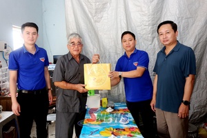
 A public employee of Chieng Coi ward guides a local resident in completing information collection forms for the development of the national land database.
The task forces are responsible for guiding and supervising communes and wards in reviewing, supplementing, and standardising cadastral records; enriching and cleansing land data; identifying land parcels lacking spatial information; developing databases for forestry land; generating unique identification codes for land parcels; digitally signing cadastral records; and integrating data into the national land database system. They are also tasked with compiling difficulties and challenges encountered during implementation in order to promptly propose appropriate solutions.
Under the implementation plan, local authorities are accelerating the review, supplementation, and standardisation of information for land parcels with incomplete data, aiming to complete the work before July 30, 2026. This will enable the integration of local data into the national land database, contributing to the development of a synchronised and accurate land information system across the province.
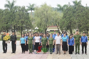
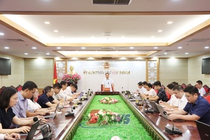
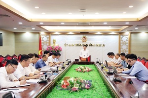
 A working delegation from the Department of Agriculture and Environment inspects the progress of the national land database development in Yen Chau commune.


You have 500/500 characters left
Please enter 5 or more characters!!!