





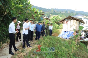
Implementing Plan No. 2959, the department has established task forces to directly inspect, guide and urge localities in implementing the assigned tasks. To date, it has conducted inspections in 42 of the province’s 75 communes and wards, helping promptly address difficulties and obstacles and hasten local authorities to accelerate cadastral surveying, the preparation of cadastral records, and the development of the land database.

According to a report, localities have established steering committees and task forces, mobilised professional staff, and coordinated with the police force, banks and specialised agencies to review, standardise and supplement cadastral data. To date, Chieng Sung commune has completed the development of the land database for 3,890 out of 9,685 land parcels, reaching 40.2%; Chieng Mung 14,461 out of 63,526 parcels, equivalent to 22.8%; Mai Son 6,834 out of 62,044 parcels, reaching 11%; and Ta Hoc 810 out of 18,332 parcels, or 4.4%.
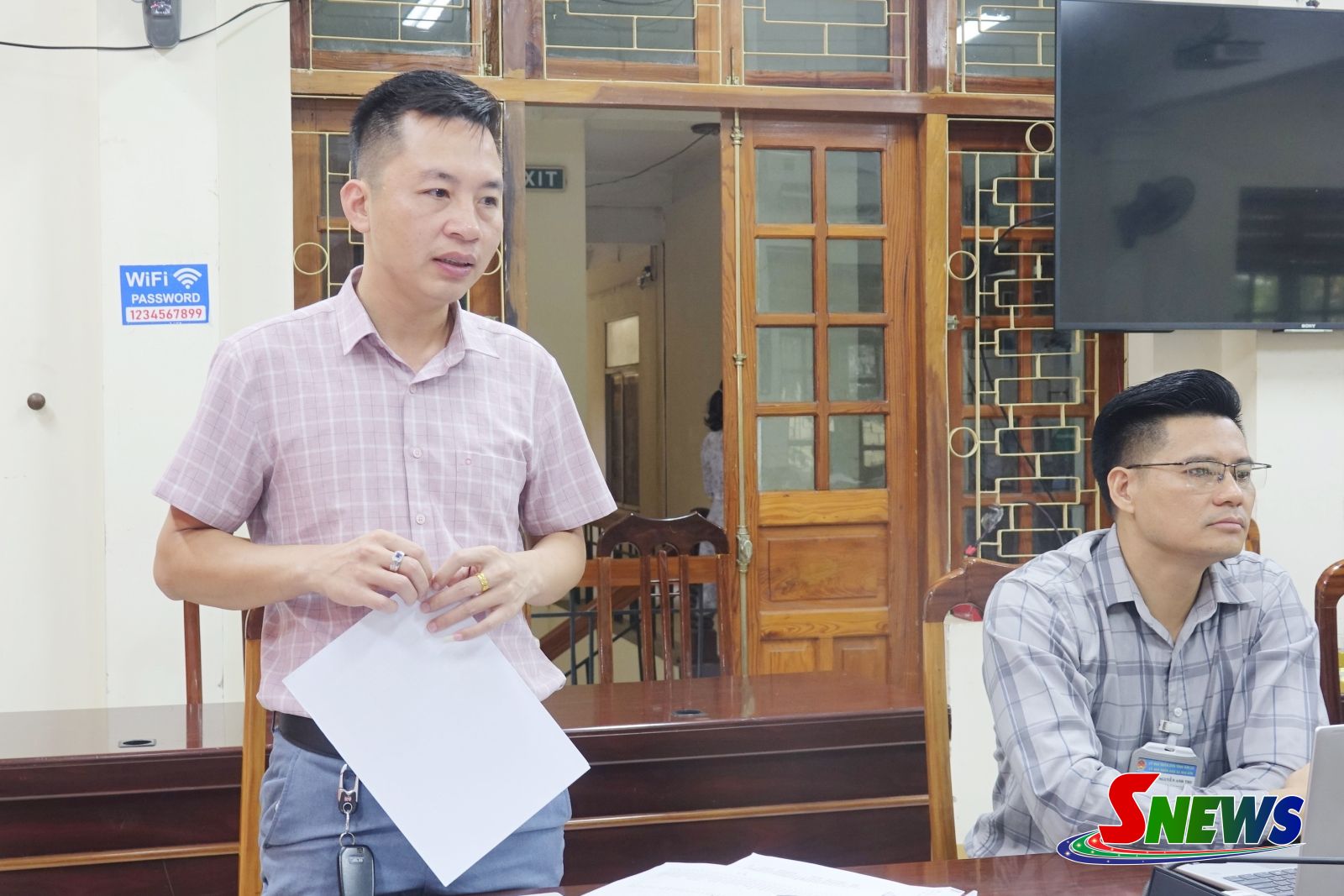
The Department of Agriculture and Environment urged localities to continue promoting the role of their steering committees and task forces, mobilising maximum human resources, strengthening coordination among relevant agencies, and proactively reviewing, standardising and supplementing cadastral data. Local authorities were also requested to promptly address difficulties and obstacles and strive to fulfill the targets set out in Plan No. 2959, thereby contributing to the completion of the national land database on schedule.














You have 500/500 characters left
Please enter 5 or more characters!!!